
Fiche Projet
De Mouvement Arbre-Évolution

Classe extérieure à l'École Saint-Pierre
Classe extérieure - Le Semoir
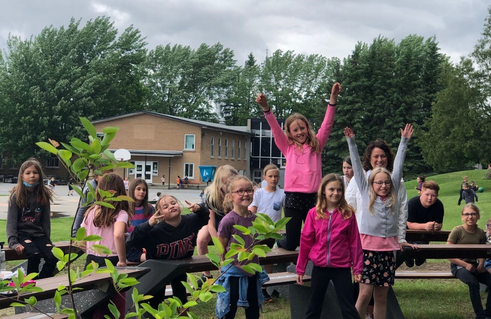
Cette classe est le résultat d’une solide collaboration entre l’école St-Pierre, Eco Cuisine Design, Desjardins, Eve Landry et Le Semoir! L'école est la grande gagnante d’une subvention pour améliorer la pédagogie en plein air dans les milieux scolaires. Elle s’est dotée de 7 bancs, d’un tableau à 3 surfaces résistant aux intempéries et d’un coin lecture muni de pierres de différentes grosseurs.
Quoi de mieux pour stimuler les apprentissages?
Interventions
Aucune intervention n'a été encore réalisée.
Saint-Valérien-de-Milton
PARCELLES(S) AMÉNAGÉE(S)
Propriétaire/gestionnaire
![]()
Bilan socio-environnemental

200
élèves atteints
Partenaires financiers
J'engage mon entreprise!
Impliquez votre entreprise comme partenaire du programme Le Semoir afin de soutenir des projets déterminants dans les écoles du Québec.
