
Fiche Parcelle
De Mouvement Arbre-Évolution

Parc-Saint-Nom-de-Marie - #6 : Clôture Blanche-Lamontagne
Reboisement social

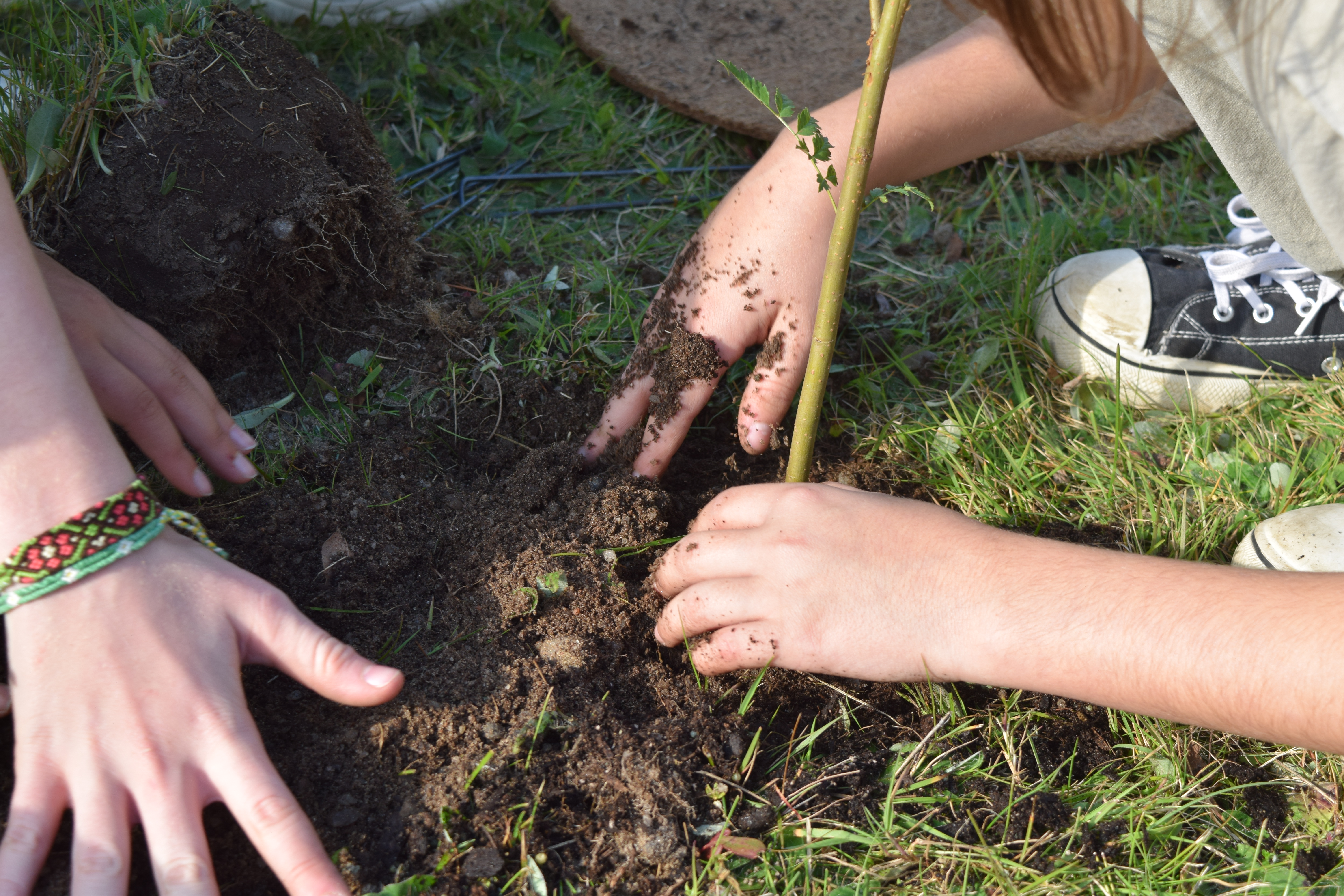
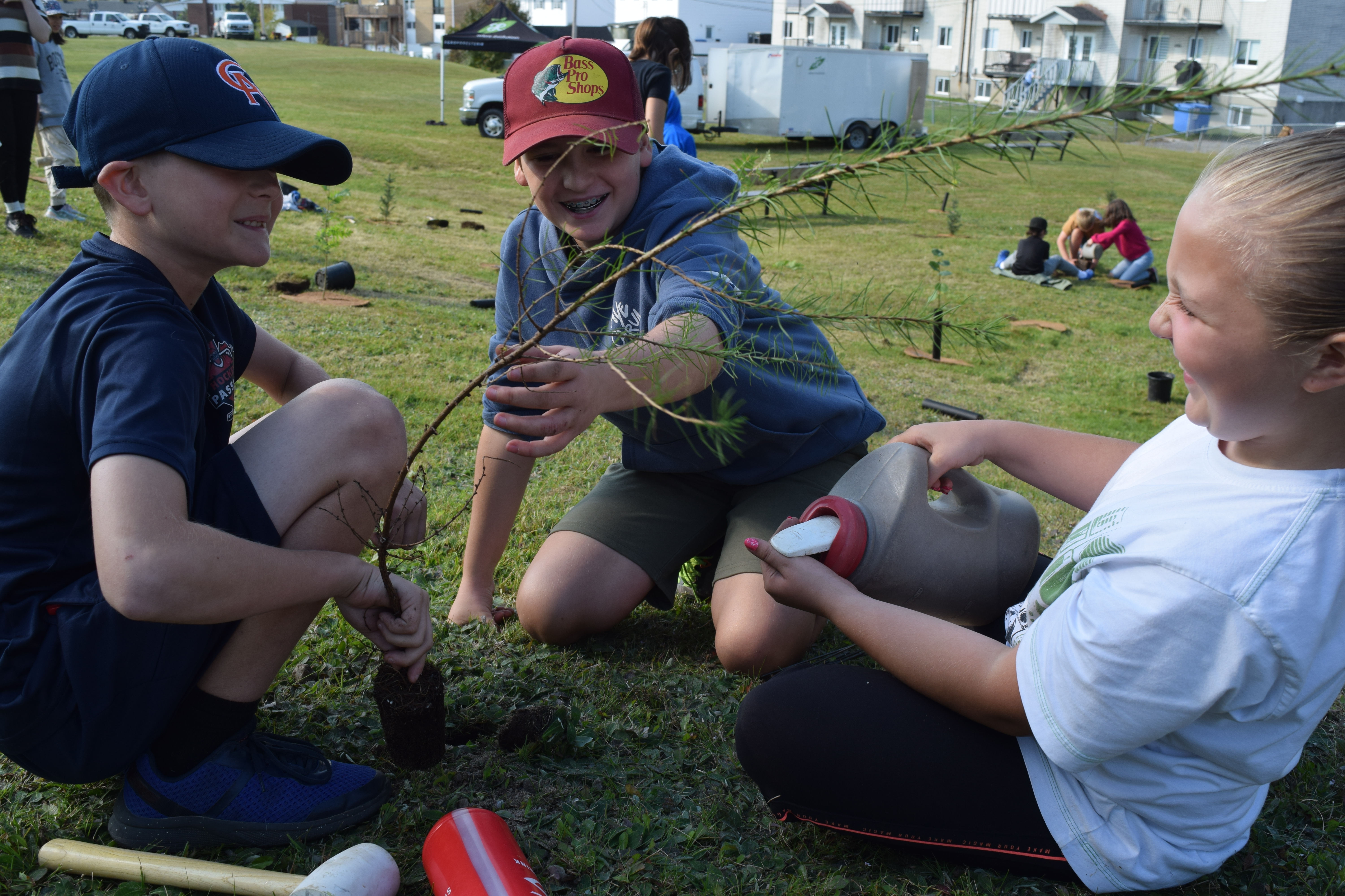
Objectif
Boiser l'espace inutilisé pour augmenter la canopée
Usage antérieur
Zone engazonnée entretenue
Biodiversité de la parcelle
Plantation initiale : 70 arbres
5
Acer saccharinum
10
Amelanchier canadensis
10
Celtis occidentalis
10
Larix laricina
10
Picea abies
5
Pinus strobus
10
Sorbus aucuparia
10
Tilia americana
Suivis post-plantation
Aucun suivi réalisé à ce jour.
Baie-Comeau
Arbres plantés initialement
70
Arbres en croissance
70
Taux de succès
100 %
Arbustes plantés
--
Identifiant de la parcelle
00488
Propriétaire
Ville de Baie-Comeau
Santé publique

1
Combat d'îlot de chaleur urbain

30
Kilos de fruits annuels