
Fiche Parcelle
De Mouvement Arbre-Évolution

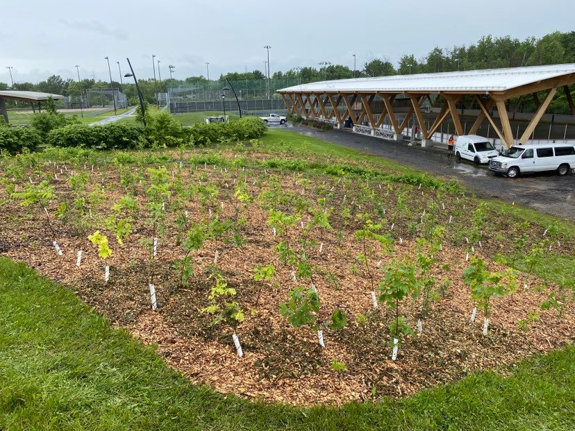
Microforêt - Candiac 2022
Objectif
Créer une microforêt dans une zone gazonnée inutilisée.
Usage antérieur
Zone engazonnée entretenue
Biodiversité de la parcelle
Plantation initiale : 250 arbres
20
Abies balsamea
20
Acer saccharum
20
Carya cordiformis
20
Celtis occidentalis
20
Larix laricina
30
Picea glauca
20
Picea mariana
20
Pinus resinosa
20
Quercus bicolor
20
Quercus macrocarpa
20
Quercus rubra
20
Sorbus americana
Suivis post-plantation
Aucun suivi réalisé à ce jour.
Candiac
Arbres plantés initialement
250
Arbres en croissance
250
Taux de succès
100 %
Arbustes plantés
--
Identifiant de la parcelle
00420
Propriétaire
Ville de Candiac
