
Fiche Parcelle
De Mouvement Arbre-Évolution

Rue St-Jean 2022
Reboisement social
Objectif
La parcelle étant constituée de sol contaminé, le gouvernement oblige la municipalité à la reboiser.
Usage antérieur
Friche/prairie jamais fauchée
Biodiversité de la parcelle
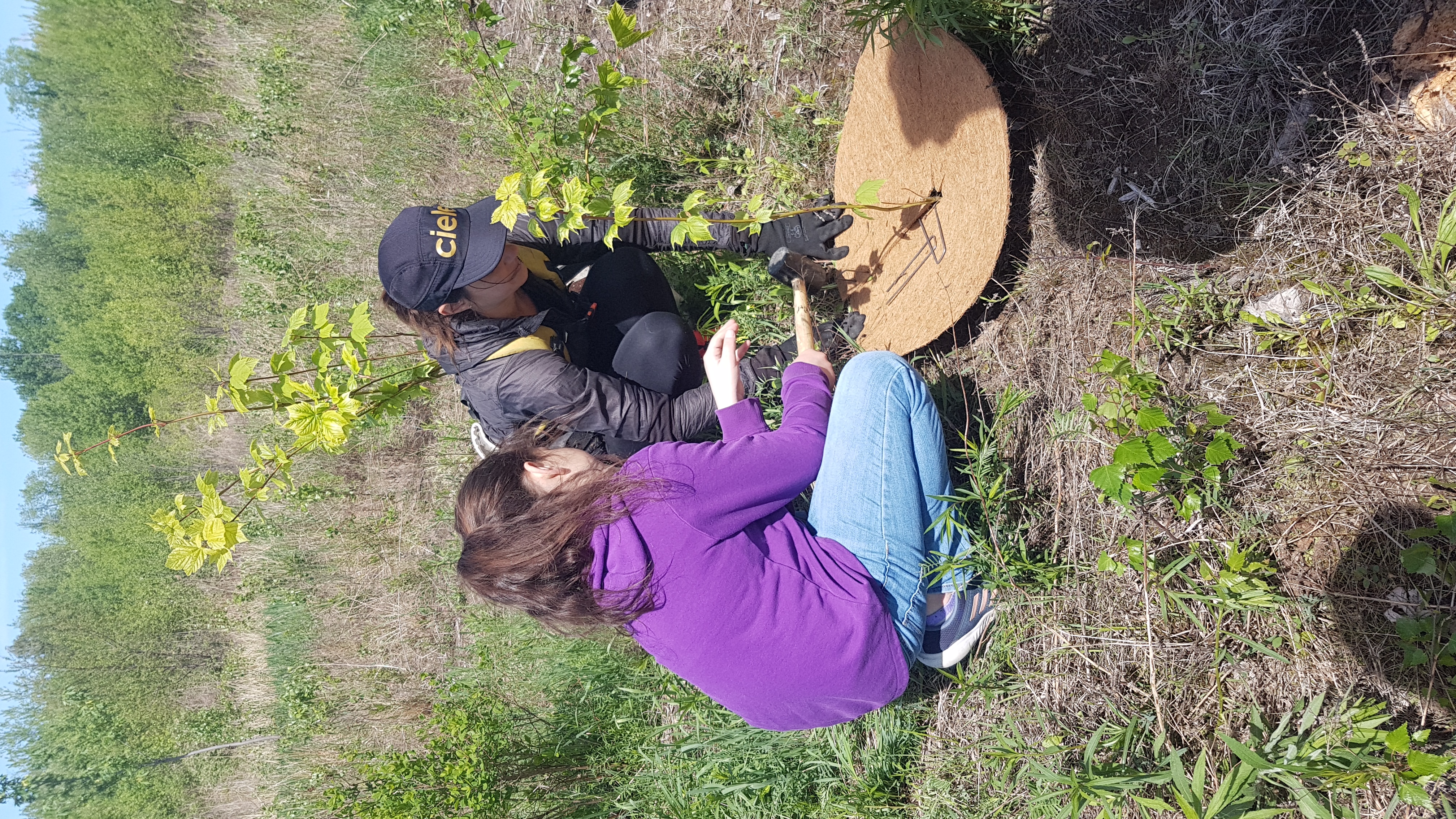
Plantation initiale : 200 arbres
50
Acer pensylvanicum
25
Acer rubrum
25
Betula papyrifera
50
Larix laricina
50
Prunus pensylvanica
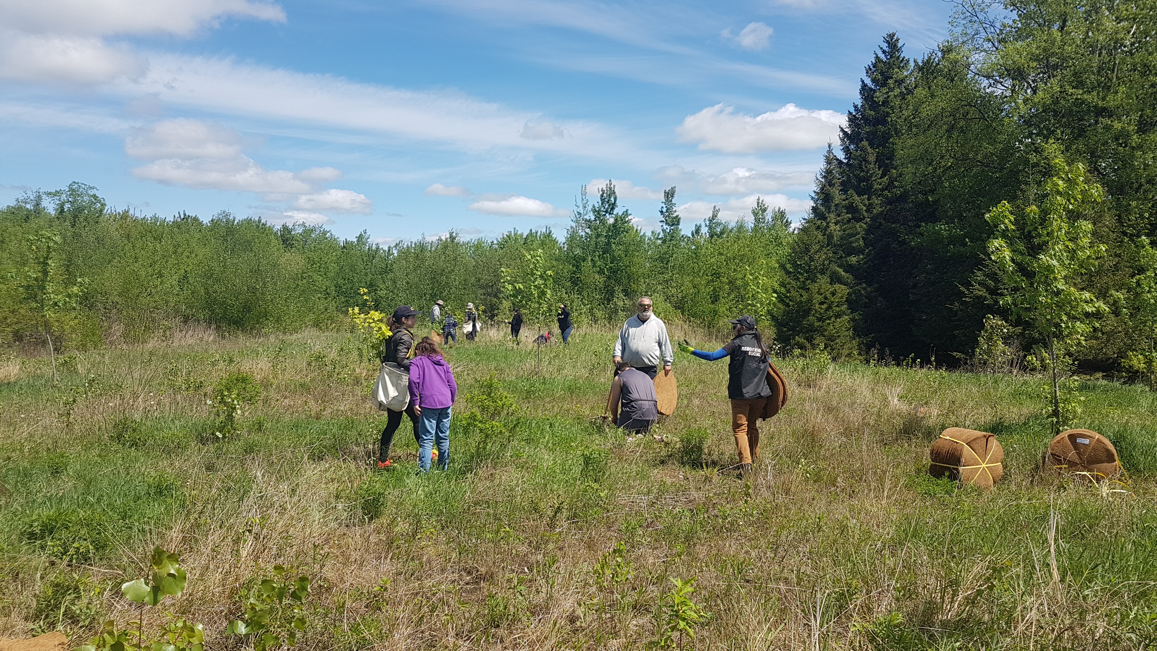
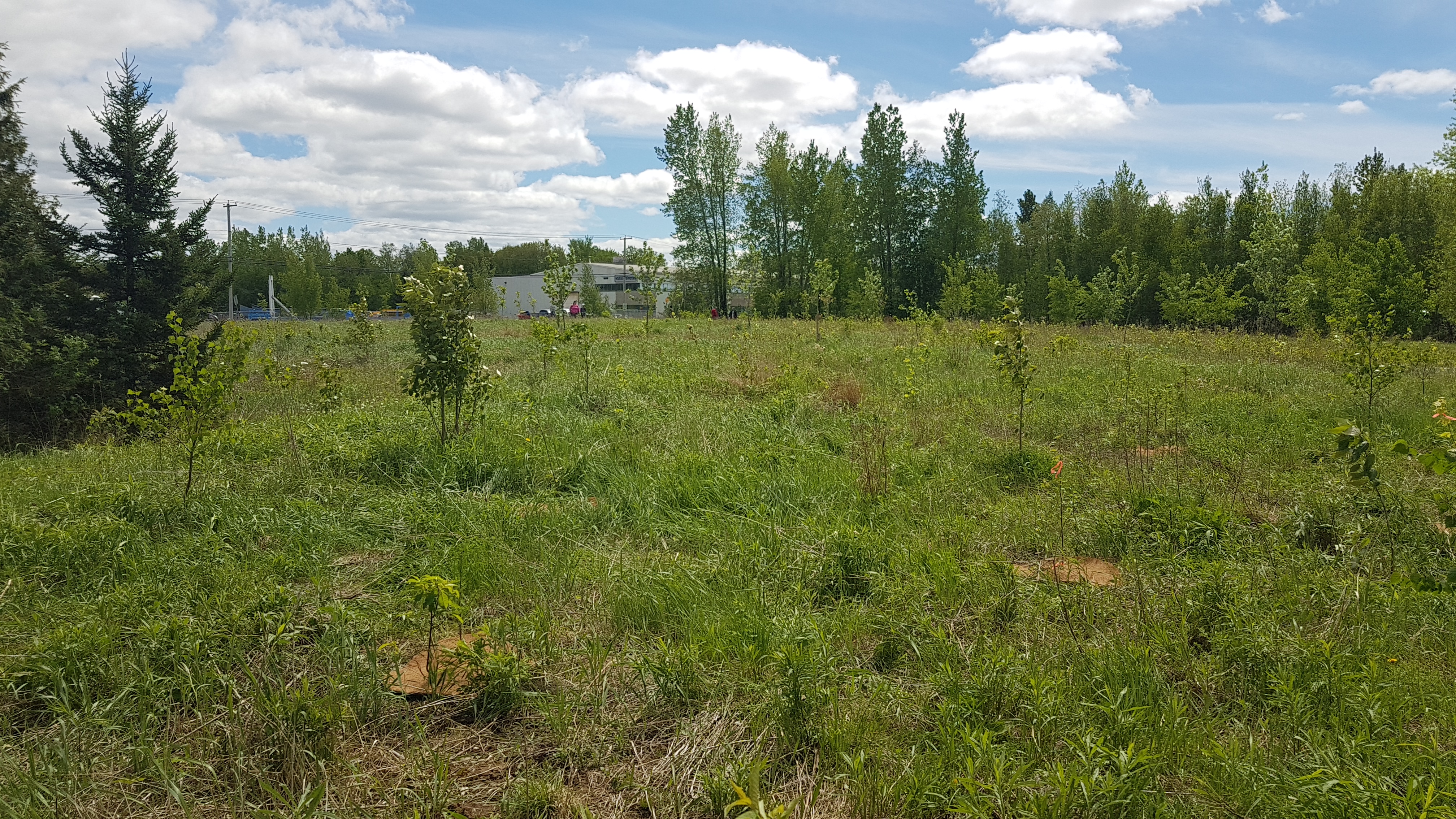
Suivis post-plantation
Visite - 2025-09-08
Nombre d'arbres survivants : 140
État : Bon
Causes de mortalité : Naturelles
Comme la parcelle n'est pas entretenue, la flore battait son plein. Il y avait également présence de couchettes de cerfs. Plusieurs arbres à croissance lente étaient non perceptibles à travers les hautes herbes et souffrent de compétition.
La régénération naturelle des peupliers prendra le dessus et génèrera un environnement propice pour la croissance des arbres de 2 et 3e génération.
Plessisville
Arbres plantés initialement
200
Arbres en croissance
140
Taux de succès
70 %
Arbustes plantés
--
Identifiant de la parcelle
00416
Propriétaire
Ville de Plessisville