
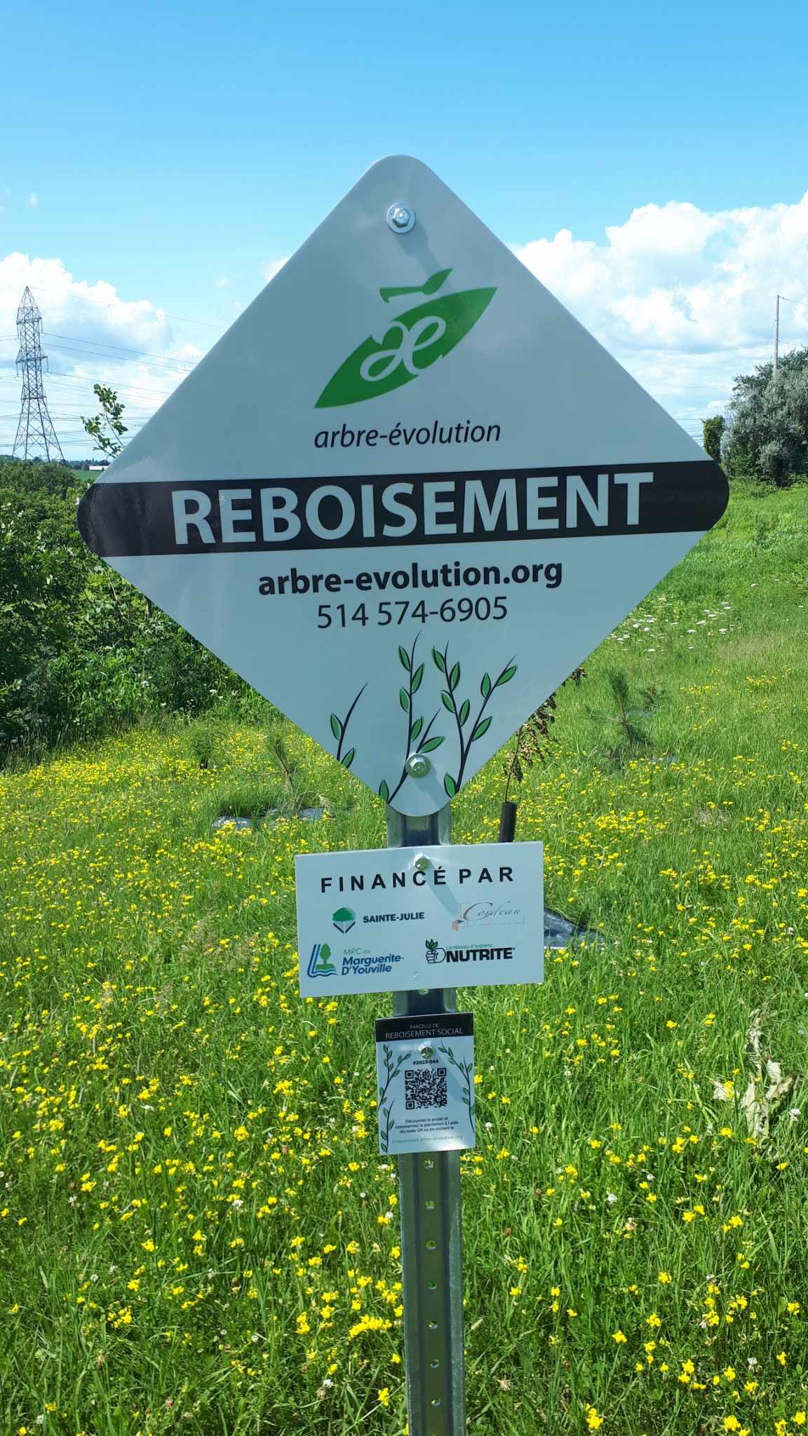
Fiche Parcelle
De Mouvement Arbre-Évolution

Piste cyclable - 3 zones 2023
Reboisement social
Objectif
Renaturalisation
Usage antérieur
Zone engazonnée entretenue
Biodiversité de la parcelle
Plantation initiale : 586 arbres
50
Abies balsamea
45
Acer rubrum
20
Acer saccharinum
45
Amelanchier canadensis
26
Betula alleghaniensis
25
Betula populifolia
50
Celtis occidentalis
30
Gleditsia triacanthos
70
Larix laricina
50
Picea glauca
85
Pinus resinosa
30
Populus balsamifera
10
Prunus serotina
35
Sorbus aucuparia
15
Tilia americana
Suivis post-plantation
Visite - 2025-07-09
Nombre d'arbres survivants : 527
État : Bon
Causes de mortalité : Naturelles
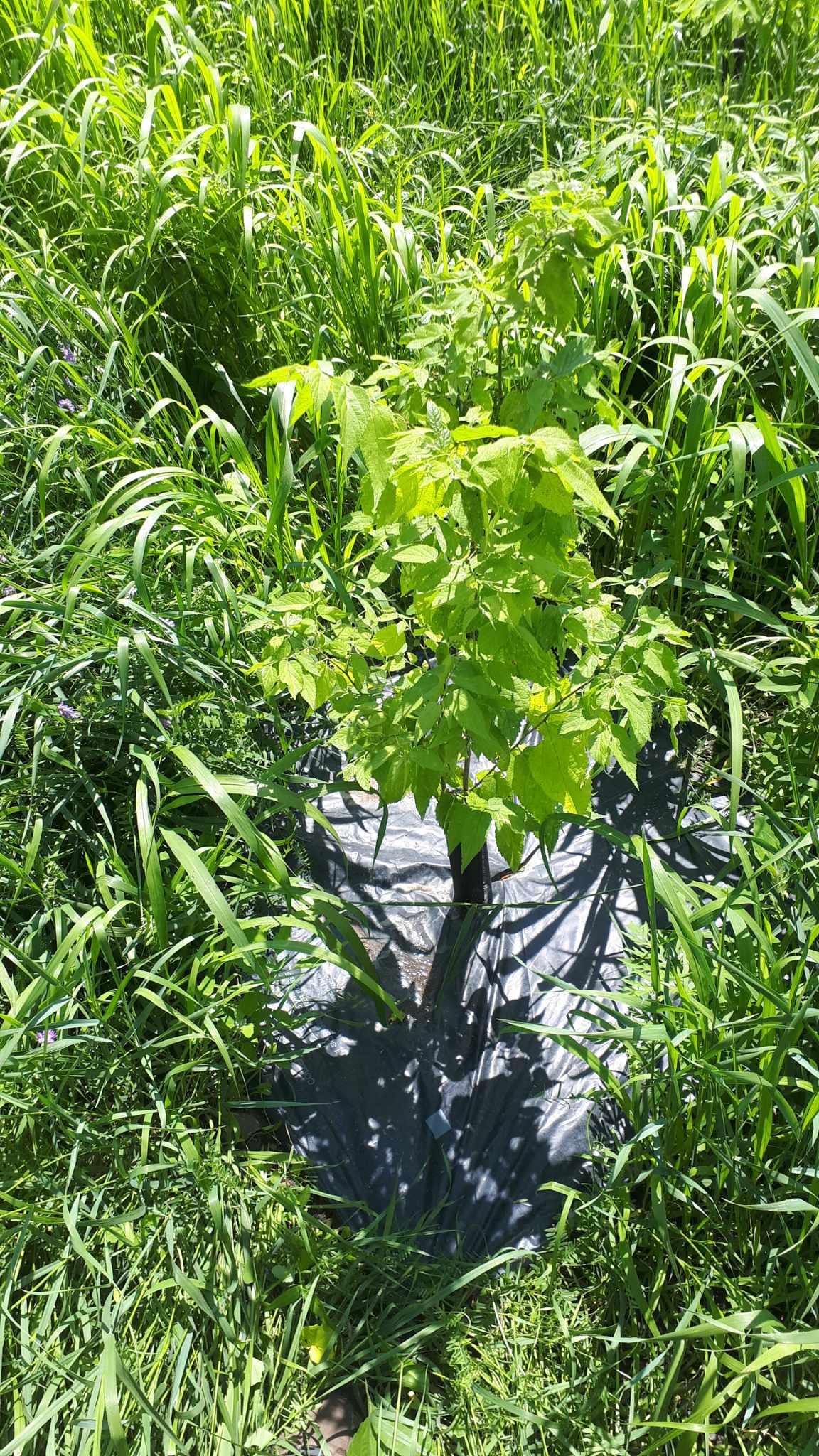
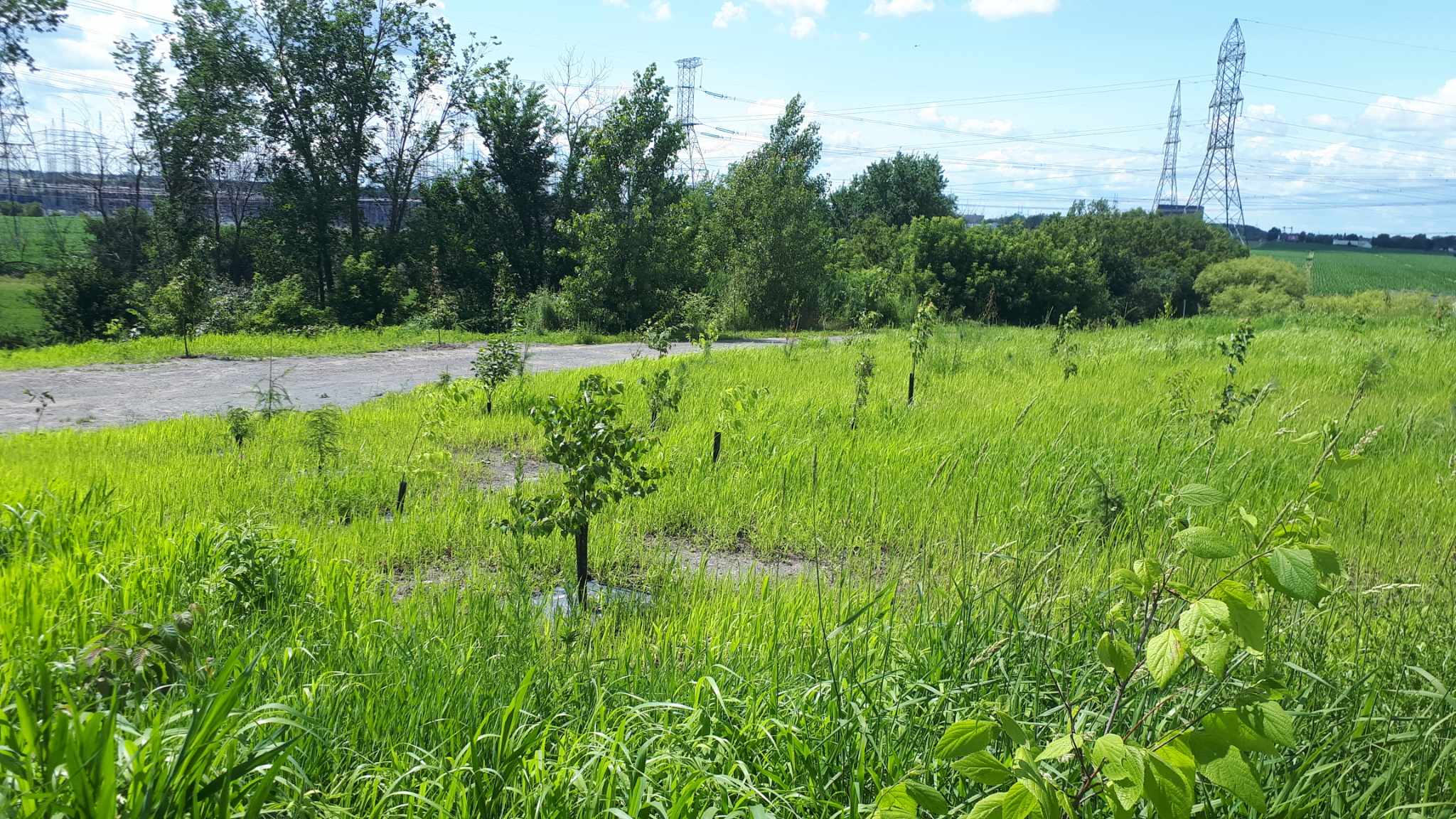
Forte présence d'herbacés
Comme le site n'est pas tondu, les herbes hautes présentaient un défi pour l'échantillonnage de la parcelle. Toutefois, il n'y avait pas d'ambiguïté sur la réussite du projet. En effet, le taux de survie estimé est de 90%. Les arbres observés sont en bon état et d'essences variés.
État : Bon
Causes de mortalité : Naturelles
Forte présence d'herbacés
Comme le site n'est pas tondu, les herbes hautes présentaient un défi pour l'échantillonnage de la parcelle. Toutefois, il n'y avait pas d'ambiguïté sur la réussite du projet. En effet, le taux de survie estimé est de 90%. Les arbres observés sont en bon état et d'essences variés.
Sainte-Julie
Arbres plantés initialement
586
Arbres en croissance
527
Taux de succès
89,9 %
Arbustes plantés
--
Identifiant de la parcelle
00097
Propriétaire
Ville de Sainte-Julie
Santé publique

135
Kilos de fruits annuels
